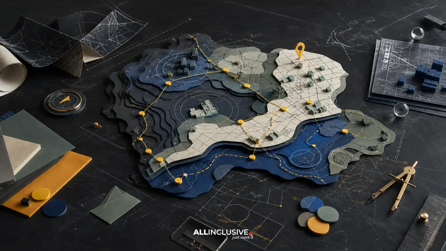
Custom map design services sit between navigation, information design, illustration, and place marketing. A strong map must help people understand where they are, where they need to go, and why the destination matters. That makes the work more involved than placing labels on a base map or decorating a street plan.
For a business, tourism organization, event, campus, district, or public-facing destination, the right provider should be able to balance geographic accuracy with clear hierarchy and an appropriate visual character. The scope may include research, data cleanup, route planning, illustration, labeling, accessibility considerations, and production for both print and digital use.
This guide explains what to expect, which decisions affect the result, and how to compare proposals without reducing the evaluation to a single price or visual sample. For a broader view of how map work fits within a complete visual system, see design services and disciplines.
What custom map design services typically include
“Custom” can describe very different levels of work. Before comparing providers, identify which of these activities your project requires:
- Project discovery: clarifying audiences, destinations, use cases, geographic boundaries, formats, and success criteria.
- Source review: assessing existing GIS files, site plans, satellite imagery, street data, architectural drawings, brand assets, and photography.
- Information architecture: deciding what deserves emphasis, what can be simplified, and how users will find routes, landmarks, amenities, and points of interest.
- Cartographic design: establishing scale, orientation, symbols, line weights, color relationships, labels, and visual hierarchy.
- Illustration: adding a hand-drawn, editorial, architectural, pictorial, or destination-specific style where it improves recognition and engagement.
- Wayfinding planning: showing entrances, decision points, accessible routes, parking, transit, landmarks, and connections between areas.
- Production: preparing files for brochures, visitor guides, signage, websites, mobile interfaces, presentations, or social media.
- Revision and handoff: incorporating stakeholder feedback, documenting files, and supplying usable exports or editable source assets where agreed.
Not every project needs every service. A simple event map may need a clear illustrated overview and a few routes. A campus or district system may require multiple map scales, a consistent symbol library, and coordination with physical signs.
The central trade-off: accuracy versus clarity
A map can be geographically accurate and still fail as a communication tool. If every road, building, contour, and boundary receives equal visual weight, the reader has to do too much work. Conversely, excessive simplification can remove the context people need to orient themselves.
Good custom map design makes deliberate choices about accuracy. The designer may preserve the true relationship between major destinations while simplifying minor streets, rotating the map for a more useful orientation, enlarging a dense area, or using visual offsets to prevent labels from colliding. These decisions should be intentional and documented rather than treated as errors.
Ask prospective providers:
- Which geographic elements will remain precise?
- Which elements may be simplified or omitted?
- Will the map use a fixed north orientation, a user-oriented direction, or a custom viewpoint?
- How will the design handle crowded labels and overlapping points of interest?
- How will accessibility, parking, transit, service entrances, and restricted areas be represented?
For operational wayfinding, accuracy should be verified against an authoritative source and reviewed by people who know the site. For promotional maps, the goal may be a readable sense of place rather than survey-level precision. The brief should state which standard applies.
Illustration and place marketing are part of the decision
Maps often perform a second job beyond navigation: they communicate the personality of a place. A resort may want a relaxed illustrated landscape. A downtown organization may need an energetic district map. A university may prefer a restrained system that works beside existing signage. A museum, park, or festival may benefit from recognizable landmarks and a more expressive visual language.
Illustration should support orientation, not obscure it. Distinctive buildings, natural features, gateways, and public spaces can help people build a mental picture of the destination. However, decorative detail becomes counterproductive when it weakens contrast, hides routes, or creates ambiguity between a landmark and a navigational instruction.
When reviewing samples, look for evidence that the provider can vary the visual treatment without losing structure. Useful questions include:
- Can the style work across a full overview map and a close-up detail?
- Are icons recognizable at the intended viewing size?
- Does the color palette support both brand expression and practical legibility?
- Can the map remain useful when printed in one color or viewed on a small screen?
- Are illustrated landmarks based on supplied references and current site conditions?
If your organization also needs supporting collateral, a map may need to align with broader graphic design for marketing and print without becoming visually indistinguishable from every other asset.
Use case determines the map’s structure
The same destination may need several map versions because users ask different questions in different contexts.
| Use case | Primary user question | Important design priorities |
|---|---|---|
| Tourism or visitor guide | What should I see and how do I get there? | Landmarks, attractions, routes, orientation, memorable visual character |
| Event or festival | Where are stages, entrances, services, and activity areas? | Fast scanning, schedule-related zones, safety information, temporary conditions |
| Campus or institution | Which building or service do I need? | Building names, accessibility, parking, consistent identifiers, multiple scales |
| District or downtown | How do destinations connect within the area? | Blocks, walking routes, parking, transit, business or attraction categories |
| Signage and on-site wayfinding | Which decision should I make next? | Directional clarity, sightlines, distances, sign locations, repeatable symbols |
| Digital or interactive map | What can I explore or locate from this screen? | Responsive layouts, zoom behavior, tap targets, content hierarchy, asset flexibility |
A proposal should identify the intended use rather than promise one master file that solves every situation. A brochure map, roadside sign, mobile screen, and large wall graphic have different viewing distances, dimensions, and production constraints.
Questions to settle before requesting proposals
A detailed brief improves both the design and the comparability of bids. Gather the following information where possible:
- Audience: visitors, residents, employees, students, guests, drivers, pedestrians, or a mix.
- Geographic extent: a single property, a district, a route, a city area, or a regional destination.
- Key actions: locate, compare, follow, explore, park, enter, transfer, or understand relationships.
- Required content: roads, paths, buildings, parking, transit, entrances, restrooms, food, services, landmarks, emergency points, and boundaries.
- Outputs: print dimensions, sign panels, web images, vector artwork, presentation graphics, or digital production assets.
- Brand requirements: colors, typography, existing iconography, illustration conventions, and accessibility standards.
- Source materials: current plans, GIS data, address lists, building inventories, photographs, and approved names.
- Reviewers: marketing, operations, facilities, accessibility, legal, public safety, or destination partners.
- Change conditions: construction, seasonal closures, event layouts, phased openings, or recurring annual updates.
It is also useful to distinguish “must be correct” information from “nice to include” content. That distinction protects the map from becoming crowded during review.
How to evaluate a map design proposal
Compare proposals against the project’s risks, not only their visual polish. A useful evaluation can include these criteria:
- Relevant experience: Look for work with comparable audiences, geographic complexity, and output formats.
- Process clarity: The proposal should explain discovery, source review, concept development, testing, revisions, and final production.
- Accuracy controls: Ask how location data will be checked and who is responsible for approving names, routes, and boundaries.
- System thinking: If multiple panels or versions are needed, look for a repeatable visual system rather than isolated artwork.
- Production knowledge: Confirm that the provider understands print resolution, vector output, bleed, sign scale, color conversion, and digital constraints.
- Revision boundaries: Clarify the number of review rounds, what counts as a revision, and how late data changes are handled.
- Handoff: Confirm file types, linked assets, fonts, color specifications, usage rights, and future update expectations.
Ask to see examples at the size and context relevant to your project. A map that looks excellent on a presentation slide may not work at a distance on a sign. A highly detailed print map may need significant restructuring for a phone screen.
Common mistakes that weaken custom maps
Starting with style before information
A visual direction is useful, but choosing colors and illustration before defining the user’s tasks often leads to attractive clutter. Begin with content priorities and route logic, then build the visual language around them.
Using outdated source information
New buildings, renamed venues, temporary closures, changed entrances, and revised parking can make a map misleading. Establish a source date and assign an owner for factual review.
Treating every location as equally important
Uniform symbols and labels create noise. The map should distinguish primary destinations, supporting amenities, orientation cues, and background context.
Designing only one final size
Scaling a brochure map onto a sign or shrinking a wall map for digital use rarely produces a good result. Plan for separate compositions or responsive adaptations when viewing conditions differ.
Leaving accessibility until the end
Contrast, type size, route distinction, color dependence, and readable symbols should be considered during concept development. Retrofitting accessibility after the hierarchy is fixed can be expensive and compromise the design.
Allowing stakeholder review to become unstructured
Many reviewers can improve accuracy, but contradictory comments can also derail the work. Use a consolidated review process, define approval owners, and separate factual corrections from subjective preferences.
A practical review checklist
Before approving a map for production, confirm:
- Every required destination appears and uses the approved name.
- Entrances, exits, paths, roads, parking, transit, and accessible routes are represented accurately.
- The intended starting point and primary destinations are easy to find.
- Legend items match the symbols used in the map.
- Labels remain readable at the actual viewing size.
- Color is not the only way to distinguish important categories or routes.
- Illustrated landmarks are recognizable without overpowering the navigation layer.
- North, orientation, scale, distance, or other context cues are provided where useful.
- Print and digital exports have been checked in their final environments.
- There is a documented plan for updates when the site or event changes.
For a deeper look at operational route communication, read wayfinding map design. If the map is primarily illustrative and destination-led, custom illustrated map design offers a useful adjacent perspective.
Budget, timeline, and ongoing maintenance
Cost is shaped by more than geographic size. The number of destinations, condition of source data, illustration detail, number of outputs, review complexity, and required accuracy all affect the effort. A map with a small footprint can be demanding if it needs detailed building illustrations, multilingual labeling, multiple sign panels, or frequent updates.
Timeline depends on the same factors. A realistic schedule usually includes discovery, data preparation, an initial structure, visual direction, design development, factual review, revisions, production checks, and final delivery. Build in time for stakeholders who control operational information, not only for the designer’s work.
Before approval, clarify whether future edits are included, priced separately, or expected to be handled by an internal team. A source file that is difficult to update may create unnecessary cost later. For a focused discussion of budgeting variables, see map design cost.
Choosing the right next step
Custom map design is a good fit when the project needs a tailored combination of navigation, visual storytelling, and production readiness. The strongest brief makes the trade-offs explicit: what must be geographically accurate, what should be simplified, which landmarks matter, where the map will appear, and who will approve the information.
Once those decisions are clear, you can evaluate providers on process, accuracy controls, design judgment, and handoff quality rather than on a portfolio image alone. For organizations ready to define a map project’s scope and outputs, review the dedicated map design services page.