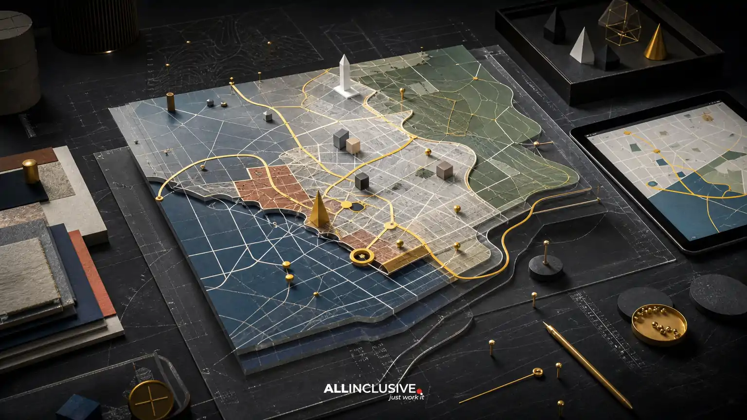
Map design cost can range from a relatively focused illustration project to a complex wayfinding system with research, technical coordination, signage production, and multiple digital and print outputs. The price is driven by scope—not simply by the number of streets or landmarks on the page.
For a useful estimate, define five things first: who will use the map, what decisions it must support, how accurate it needs to be, how much custom illustration it includes, and where it will appear. A tourism map, event map, campus map, district guide, and permanent wayfinding system may all show geography, but they require different design and production work.
This article breaks down the main cost factors so you can compare proposals more accurately and choose the right level of map design. For an overview of professional map design capabilities and deliverables, see custom map design services.
What is usually included in map design cost?
A custom map project may include some or all of the following:
- Project discovery and audience definition
- Base-map research, cleanup, or construction
- Geographic hierarchy and information design
- Custom icons, landmarks, typography, and illustrations
- Route, district, boundary, or location accuracy
- Print and digital layout preparation
- Accessibility and legibility decisions
- Revision rounds and stakeholder review
- Production-ready exports and source files
Not every project needs every component. A simplified illustrated map for a brochure may have limited geographic detail but substantial art direction. A campus wayfinding map may use restrained illustration while requiring careful verification of buildings, paths, entrances, destinations, and directional logic.
The biggest factors that affect map design cost
1. The map’s purpose and audience
The intended use establishes the design problem. A map designed to inspire visitors can prioritize character, storytelling, and recognizable landmarks. A map intended to guide people through a venue must prioritize fast scanning, clear routes, decision points, and location accuracy.
Common project types include:
- Tourism and destination maps: place marketing, attractions, districts, amenities, and visitor-friendly storytelling
- Event maps: temporary routes, entrances, schedules, services, sponsor areas, and crowd movement
- Campus and institutional maps: buildings, accessible routes, parking, services, and orientation
- District and real-estate maps: boundaries, nearby destinations, development context, and brand presentation
- Signage and wayfinding systems: consistent directional logic across signs, directories, kiosks, and digital touchpoints
- Editorial and marketing maps: a visually distinctive map for brochures, campaigns, packaging, or reports
Projects that combine navigation with place marketing often require more strategic decisions than a single decorative illustration. The map must be attractive without compromising comprehension.
2. Geographic scope and source material
A small venue, neighborhood, or campus may be easier to define than a regional map with multiple municipalities, transportation networks, and points of interest. Scope also becomes more expensive when the available source material is incomplete, inconsistent, outdated, or supplied in incompatible formats.
Before requesting a quote, gather any available GIS exports, PDFs, CAD files, site plans, brand maps, satellite references, addresses, boundary data, and existing signage standards. Clear source material can reduce reconstruction work. However, source files do not automatically make a map ready for design; information still needs to be selected, simplified, organized, and visually prioritized.
3. Required accuracy
Accuracy has different meanings. A promotional illustrated map may use intentional geographic distortion to make the composition more readable. A wayfinding map generally needs reliable relationships between destinations, routes, entrances, barriers, and landmarks. A public-facing map may also need current accessibility information, parking details, or emergency-related locations.
Ask what must be geographically exact and what can be diagrammatic. This distinction helps prevent two costly problems: paying for unnecessary precision or discovering too late that an expressive map cannot support real-world navigation.
4. Level of custom illustration
Illustration is one of the clearest differentiators in map design cost. A restrained system of dots, lines, labels, and standard icons takes a different amount of time than a hand-drawn map with custom buildings, terrain, vegetation, vehicles, landmarks, and decorative elements.
Illustration complexity may include:
- Custom landmark drawings
- Isometric or perspective buildings
- Decorative terrain, water, or vegetation
- Character or lifestyle elements
- Neighborhood-specific visual motifs
- Custom icon families
- Multiple illustration scales for print and screen
Illustration should support the map’s job. Too much detail can compete with labels and routes, especially at small sizes. A well-designed map uses visual character selectively, reserving the strongest detail for destinations that matter to the audience.
5. Information density and hierarchy
A map becomes more demanding as it must communicate more layers of information. Roads, paths, transit, parking, buildings, trails, water, boundaries, attractions, services, accessibility features, and points of interest all compete for visual attention.
The designer may need to create a hierarchy that determines which elements appear first, second, and third when someone scans the map. This can involve line weights, color contrast, label treatment, icon scale, grouping, simplification, and selective omission. Information design is often the difference between a map that looks detailed and one that is genuinely usable.
6. Number of formats and final applications
A map built only for a letter-size printed handout has different production needs from one that must work on a website, mobile screen, large sign, kiosk, visitor guide, and social media graphic.
Each output may require adjustments to:
- Canvas size and orientation
- Scale and line weight
- Label size and density
- Color mode and resolution
- Bleed, trim, and production specifications
- Responsive or interactive behavior
- Accessibility and contrast
A single master file can support multiple outputs, but it may not be enough to export the same artwork unchanged at every size. Budget for adaptation when the map must function across both physical and digital environments.
7. Revisions and stakeholder coordination
Revision needs increase when a map has many reviewers or when decisions about destinations, boundaries, routes, and naming are unresolved at the start. Municipal, campus, tourism, event, and real-estate projects may involve marketing teams, operations staff, facilities managers, property owners, accessibility reviewers, and production vendors.
A proposal should state what counts as a revision round, how feedback is consolidated, and which changes may be treated as additional scope. One coordinated review process is usually more efficient than receiving contradictory comments from multiple stakeholders.
8. Ongoing updates and version management
Maps are not always one-time assets. Events need dates and locations changed. Campuses add buildings. Districts evolve. Businesses move. Transit and accessibility information can change. If updates are likely, ask how source files will be organized and whether the design system can be maintained without rebuilding the map from scratch.
It is useful to clarify whether the project includes editable source files, a documented icon system, linked assets, fonts, color specifications, and a process for future updates. These details affect the long-term value of the initial investment.
How map design scope changes the budget
| Scope level | Typical characteristics | Main cost drivers |
|---|---|---|
| Focused illustrated map | One defined area, limited destinations, one or two outputs | Illustration style, landmark detail, labels, and revisions |
| Marketing or visitor map | Multiple attractions, branded storytelling, print and digital use | Information hierarchy, custom icons, place marketing, and adaptations |
| Wayfinding map | Routes, entrances, directories, destinations, and practical navigation | Accuracy, field verification, accessibility, testing, and stakeholder coordination |
| Map system | Multiple sites, sign types, kiosks, digital views, or recurring updates | System design, versioning, production standards, and implementation support |
These categories are not fixed price tiers. They are a way to identify the work involved before comparing proposals. Two maps with similar dimensions may have very different costs because one is a single promotional asset and the other is part of a larger navigation system.
Trade-offs that can lower or increase cost
Precision versus simplification
More geographic detail is not automatically better. Simplifying secondary streets or minor features can improve comprehension and reduce production time. However, removing a route, entrance, or landmark that users depend on can damage the map’s usefulness. Decide based on user tasks, not on visual minimalism alone.
Custom illustration versus a restrained graphic system
Custom illustration can make a destination memorable and support a strong sense of place. A restrained system may be more efficient, easier to update, and clearer at small sizes. Some projects benefit from a hybrid approach: custom treatment for major landmarks and a consistent icon system for secondary locations.
One master map versus multiple tailored versions
A single comprehensive map may appear efficient, but it can become crowded. Separate versions for visitors, staff, event operations, or digital use may communicate better. The additional production cost should be weighed against the cost of confusion, reprinting, or poor user experience.
Static output versus interactive map
Static maps are often easier to distribute and control in print and presentations. Interactive maps may support search, zoom, layers, live updates, or accessibility features, but they introduce development, content management, testing, and maintenance requirements beyond visual design.
Questions to ask before requesting a map design quote
- Who will use the map, and what decision or action should it support?
- What geographic area must be included?
- Which features must be exact, and which can be simplified or illustrated?
- What source files or reference data are available?
- Which destinations, routes, boundaries, and labels are mandatory?
- Where will the map appear: print, signage, website, mobile, kiosk, or presentation?
- What sizes, orientations, and production specifications are required?
- How much custom illustration is expected?
- Who will approve geographic, operational, and brand-related decisions?
- How often will the map need updates?
Providing these answers early makes estimates more comparable. It also helps separate design work from research, data preparation, content writing, printing, signage fabrication, web development, and other adjacent services that may belong in separate line items.
How to compare map design proposals
Do not compare proposals on a single total alone. Review whether each proposal addresses the same scope and deliverables.
- Approach: Does the proposal explain how the map will balance accuracy, navigation, and visual character?
- Inputs: Does it identify who supplies geographic data, labels, boundaries, and approved content?
- Deliverables: Are final sizes, file formats, source files, and adaptations listed?
- Review process: Are milestones, feedback rounds, and approval responsibilities clear?
- Production: Are print preparation, signage specifications, or implementation coordination included or excluded?
- Maintenance: Is there a practical plan for future updates and version control?
A lower quote may reflect a narrower scope rather than a more efficient process. A higher quote may include research, additional formats, technical coordination, or a more extensive illustration system. The right comparison is value against the map’s required job.
Common ways map projects become more expensive
- Adding destinations after the visual hierarchy has been approved
- Changing the geographic boundary late in the process
- Requesting a new illustration style after landmark artwork is complete
- Designing for an unplanned sign, screen, or print size
- Using conflicting source maps without one approved geographic reference
- Allowing several stakeholders to submit uncoordinated feedback
- Expecting a promotional map to perform as a complete wayfinding system
- Leaving label ownership, naming, or accessibility information unresolved
Most of these issues are scope and decision-management problems, not unavoidable surprises. A clear brief, approved reference data, and a defined review structure can protect both schedule and budget.
When to use a broader design system
A map rarely exists in isolation. It may need to fit a destination brand, visitor guide, event identity, signage family, presentation, website, or campaign. If the project includes multiple branded touchpoints, the map should share a visual logic with the broader system while remaining readable as a navigational tool.
For context on how visual decisions can be coordinated across related communications, explore design services and systems. If the need is specifically a larger marketing collateral program, the guidance on graphic design can help distinguish map design from broader production work.
Related planning resources
For a closer look at navigation-focused decisions, read wayfinding map design. If the project is primarily expressive or destination-oriented, custom illustrated map design provides a useful comparison of illustration and usability considerations.
Bottom line
Map design cost is shaped by purpose, accuracy, geographic scope, information density, illustration, formats, review complexity, and future maintenance. The most reliable way to control the budget is to define the map’s job before defining its style, then document what must be exact, what can be simplified, and where the final asset will be used.
Once those decisions are clear, you can request a more useful scope and determine whether your project needs a focused illustrated map, a visitor-oriented guide, or a broader wayfinding system. For the next step, review the dedicated map design offering.