Map illustration styles do more than determine whether a map looks playful, technical, minimal, or expressive. They shape how quickly people understand a place, what they notice first, how confidently they navigate, and whether the map works across print, signage, websites, and mobile screens.
The right style depends on the map’s job. A visitor map for a destination may prioritize atmosphere and landmarks, while a campus map may need precise building labels and accessible wayfinding. An event map may emphasize temporary zones and circulation. Before choosing a visual language, define the audience, decisions the map must support, geographic scale, production formats, and the level of accuracy required.
This guide compares common approaches and explains where each one performs best. For broader context on planning a map project, see the map design brief checklist.
What makes a map illustration style effective?
A successful illustrated map balances four qualities:
- Legibility: users can find routes, destinations, boundaries, and labels without excessive effort.
- Spatial credibility: the relationships between important places remain accurate enough for the intended use.
- Character: color, texture, iconography, and landmark treatment communicate the identity of the place.
- Production flexibility: the artwork can be adapted to the required sizes, formats, surfaces, and updates.
These qualities can conflict. Adding more buildings, decorative landmarks, or terrain detail may increase local character but reduce clarity. Simplifying geography can improve scanning but make the map less useful for precise navigation. Style selection is therefore a decision about priorities, not a search for the most attractive aesthetic in isolation.
Common map illustration styles
1. Minimal vector map
A minimal vector map uses simplified shapes, restrained color, consistent line weights, and a limited set of symbols. Streets, paths, water, parks, and buildings are reduced to clear geometric forms.
Best for: websites, visitor guides, directories, presentations, wayfinding systems, and maps that need frequent updates.
Strengths: high legibility, scalable artwork, efficient reproduction, and strong compatibility with digital interfaces.
Trade-offs: it can feel generic if the color system, icons, or landmark treatment do not express the character of the place. Simplification must also be carefully controlled so important spatial relationships are not lost.
2. Illustrated landmark map
This style gives prominent buildings, attractions, natural features, or cultural sites distinctive illustrated treatments. Landmarks may be shown in elevation, perspective, silhouette, or simplified pictorial form.
Best for: tourism, destination marketing, hospitality, campuses, cultural districts, and visitor experiences where recognition matters as much as route finding.
Strengths: memorable visual storytelling, stronger sense of place, and faster recognition of destinations that may be difficult to identify by name alone.
Trade-offs: landmark illustrations require space and hierarchy. If every feature receives equal emphasis, the map becomes crowded. The illustrative treatment should be reserved for locations that genuinely help users orient themselves or understand the experience.
3. Pictorial or bird’s-eye map
A pictorial map presents a place from an elevated or oblique viewpoint, often combining illustrated buildings, terrain, roads, activities, and environmental details. It may not follow a strict plan-view geometry.
Best for: resorts, parks, campuses, attractions, entertainment districts, and promotional maps designed to communicate an experience.
Strengths: strong emotional appeal, intuitive depiction of buildings and activities, and an ability to show what a place feels like rather than only where objects are located.
Trade-offs: perspective can distort distance and direction. It is less suitable when users need precise navigation, accessible route planning, or dependable measurement. A pictorial map often works best as an orientation or marketing layer supported by a more accurate wayfinding system.
4. Hand-drawn or sketch map
Hand-drawn maps use irregular lines, visible texture, loose lettering, or an intentionally crafted mark. The result may feel personal, local, historic, or informal.
Best for: neighborhood guides, food and beverage districts, creative destinations, heritage trails, event materials, and editorial storytelling.
Strengths: warmth, authenticity, and a distinctive sense of authorship. A sketch treatment can make a familiar area feel approachable and encourage exploration.
Trade-offs: irregularity can reduce consistency and legibility, particularly at small sizes. Hand-drawn maps need a disciplined underlying structure for labels, routes, and symbols even when the surface treatment appears spontaneous.
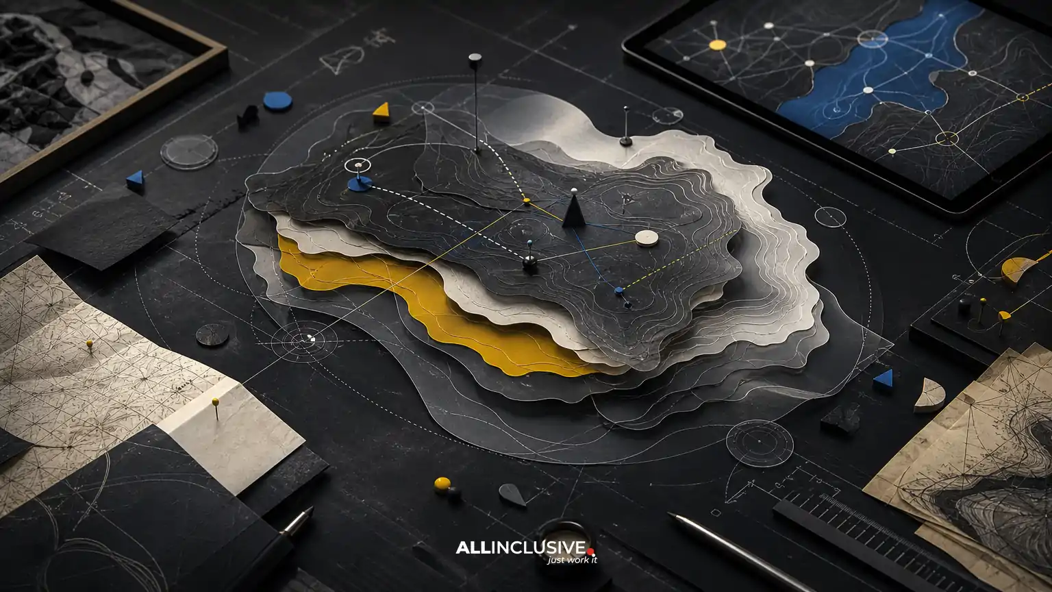
5. Topographic or terrain-led map
Terrain-led maps emphasize elevation, contours, landform, vegetation, water, and outdoor conditions. They may combine technical topographic conventions with editorial illustration.
Best for: parks, trails, outdoor recreation, conservation areas, resorts, and regional destinations where landscape is central to the user’s decisions.
Strengths: communicates environmental context, route difficulty, landscape character, and orientation across larger areas.
Trade-offs: terrain detail competes with labels and routes. The map needs a clear hierarchy so visitors can distinguish essential navigation information from background geography. It may also require separate versions for overview and close-up use.
6. Diagrammatic or schematic map
A schematic map prioritizes connections and sequence over geographic accuracy. Lines may be straightened, angles standardized, and distances adjusted to clarify a network or process.
Best for: transit, event circulation, multi-building campuses, internal districts, visitor flows, and maps where route choice is more important than exact position.
Strengths: makes complex systems easier to scan, compare, and remember. It can show relationships that a geographically accurate map would obscure.
Trade-offs: users may misinterpret the map as geographically precise. Include a clear orientation strategy and avoid schematic distortion when people need to estimate walking distance, access points, or physical boundaries.
7. Editorial or poster-style map
An editorial map treats geography as a composition. It may use bold typography, layered color fields, decorative annotation, collage, pattern, or a strong visual concept.
Best for: campaigns, publications, cultural programming, destination promotion, annual events, and limited-edition print pieces.
Strengths: high visual impact and strong potential for storytelling. It can turn a map into a recognizable communications asset rather than a purely functional diagram.
Trade-offs: poster-style maps often require careful separation between the hero composition and practical information. If the map is expected to support live navigation, create a functional companion version or simplify the composition at smaller sizes.
How to choose the right visual language
Use the following decision criteria before selecting a style.
Start with the primary user task
Ask what the user must do in the first few seconds. Are they locating an entrance, choosing a route, recognizing a landmark, understanding a district, or being inspired to visit? A map can support several tasks, but one should lead the hierarchy.
- Fast navigation: favor minimal vector, structured wayfinding, or schematic approaches.
- Place recognition: consider illustrated landmarks or a pictorial treatment.
- Landscape understanding: use terrain-led visual language with carefully controlled detail.
- Promotion and storytelling: explore editorial, hand-drawn, or illustrated landmark styles.
Match detail to geographic scale
A citywide map, district map, site plan, and trail map cannot use the same density of information. At a regional scale, major connections and destinations matter most. At a site scale, entrances, buildings, paths, accessible routes, restrooms, and decision points become more important.
Plan the map as a system of scales rather than a single finished image. A style that works beautifully on a 24-by-36-inch visitor map may fail as a small mobile graphic or roadside sign. Define the intended viewing distances and output dimensions early.
Consider the personality of the place
Visual language should reflect the context without becoming a decorative costume. A historic district might benefit from restrained linework and archival references; a family attraction may support brighter colors and expressive icons; a corporate campus may need a calm, systematic approach.
Translate personality through a controlled combination of palette, line quality, typography, icon shape, landmark emphasis, and texture. Avoid relying on novelty alone. A memorable style is useful only when people can still understand the map.
Decide how much accuracy is necessary
Accuracy has different meanings. A navigation map may require dependable routes, entrances, barriers, and accessibility information. A marketing map may only need recognizable relationships between headline destinations. A schematic map may intentionally alter distance while preserving route connections.
Document which elements must remain geographically accurate and which can be simplified, repositioned, or illustrated. This prevents disagreements during review and helps the design team protect the information that affects real-world decisions.
Plan for accessibility and inclusion
Color contrast, label size, symbol clarity, route differentiation, and visual clutter all affect usability. Do not rely on color alone to distinguish paths or zones. Provide sufficient contrast between type and background, use clear icon conventions, and test maps at the smallest intended size.
For public-facing wayfinding, also consider mobility routes, stairs, elevators, accessible entrances, restrooms, and other information that may materially change route choice. A visually attractive map that omits these distinctions can create practical barriers.
Style trade-offs by use case
| Use case | Often effective styles | Primary priority | Common risk |
|---|---|---|---|
| Tourism destination | Illustrated landmark, pictorial, editorial | Recognition and sense of place | Too much decoration for practical navigation |
| Campus | Minimal vector, landmark, schematic | Findability and route clarity | Outdated buildings or inconsistent naming |
| Event | Minimal vector, schematic, hand-drawn | Temporary zones and circulation | Confusing entrances, queues, or time-sensitive changes |
| Park or trail | Terrain-led, minimal vector, pictorial | Landscape and route conditions | Terrain detail overwhelms essential guidance |
| District marketing | Editorial, illustrated landmark, hand-drawn | Identity and exploration | Promotional emphasis obscures actual distances |
| Signage system | Minimal vector, schematic | Recognition at a distance | Small type, weak contrast, or inconsistent symbols |
One map may need more than one style
Organizations often try to force one illustration style into every channel. A better approach is to establish a shared visual system and adapt the level of detail to the application.
For example, a destination may use a richly illustrated overview map in a visitor guide, a simplified vector map on its website, and a high-contrast directional version for signs. The same palette, icon family, landmark logic, and naming system can connect the outputs while allowing each version to serve its context.
This distinction is especially important when printed and digital maps coexist. Compare their different constraints in printed map vs. digital map.
Production considerations that affect style
Vector versus raster artwork
Vector artwork is generally advantageous when a map must scale across signs, print, presentations, and digital screens. Raster textures and painterly elements can add character, but they should be prepared at appropriate resolutions and separated from essential navigation information where possible.
Color and reproduction
A palette that works on a backlit display may reproduce differently on uncoated paper, vinyl, fabric, or painted signage. Test important contrasts in the actual production context. Keep a defined color hierarchy for primary routes, secondary information, landmarks, boundaries, and background terrain.
Typography and labeling
Labels should be treated as part of the map system, not added at the end. Establish rules for hierarchy, capitalization, abbreviations, orientation, minimum size, and collision handling. A beautiful illustration can fail if users cannot distinguish a destination name from a neighborhood, route, or point of interest.
Updates and governance
Buildings, businesses, event zones, routes, and access conditions change. Maintain editable source files and a documented naming and symbol system. If multiple teams will update the map, define who owns geographic data, approvals, version control, and final production exports. Related signage decisions are covered in the wayfinding signage map system guide.
A practical map illustration style checklist
- Define the primary user task and secondary tasks.
- List the places, routes, boundaries, and features that must appear.
- Separate geographically essential information from decorative or promotional content.
- Choose the intended viewing distance, dimensions, and output formats.
- Decide whether the map needs one version or a coordinated family of versions.
- Select a style that matches the place without compromising hierarchy.
- Set rules for color, icons, landmarks, typography, labels, and scale.
- Test the map with representative users or stakeholders who are not close to the project.
- Review accessibility, contrast, route accuracy, and update requirements.
- Prepare editable master artwork and production-ready exports.
Final decision: style should serve the experience
The best map illustration style is not necessarily the most detailed or the most distinctive. It is the visual language that helps the intended audience make the right decisions in the real setting where the map will be used.
Choose minimal vector or schematic systems when clarity and repeatable navigation lead. Choose illustrated landmarks, pictorial, hand-drawn, or editorial treatments when recognition, atmosphere, and place storytelling carry more weight. When a map must do both, build a coordinated system instead of forcing one composition to solve every problem.
For projects that need a considered balance of geographic information, visual identity, and wayfinding requirements, review the broader map design offering. For related visual-system planning, the broader design resource provides additional context.